Creating a rich, highly accurate national fabric of broadband coverage with over 300 property attributes & spatial data layers.... Learn more
SmartParcels®
The powerful nationwide parcel database you need
Decision-making just got easier. SmartParcels® combines parcel boundaries with 300+ property and tax attributes, with a focused commitment to 100% coverage.
REQUEST A DEMO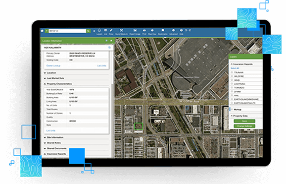
How SmartParcels® is different
SmartParcels and our other map-ready content power our map-based real estate applications, LandVision℠ and GOVCLARITY®, as well as 3rd party applications via SpatialStream®.
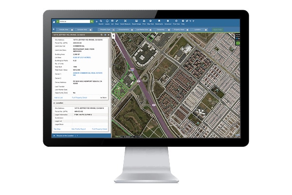
Determine precise property data
- Uncover detailed property characteristics and precise parcel boundary locations for over 99% of the US population.
Link to relevant data
- Connect with LightBox address data (SmartParcels® and LightBox Building Footprints).
Simplify management
- Access single, normalized data structure across 3,000+ counties instead of individual county-level data inputs.
Customize delivery
- Choose from bulk data, real-time API, or LandVision℠ for how you’d like to consume data.
Stay up-to-date
- Enjoy quarterly product updates for increased coverage—as well as efficiency.
Determine precise property locations
Use basic location details to validate property records
- Use addresses, parcel numbers, latitudes and longitudes to accurately locate a property.
- Identify the subdivision and block group that a property belongs to.
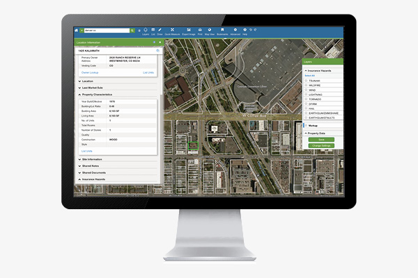
Understand property ownership
Find the owner of any property
- Use complete property ownership information to easily understand who owns a parcel.
- Determine if a property is owner-occupied and identify the owner’s address if it’s different than the property you’re researching.
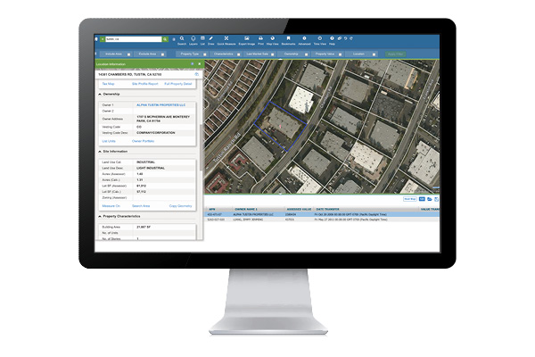
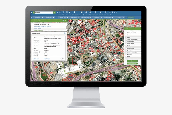
Identify land use & zoning data
- Explore information about a parcel including land use category, acreage and lot square footage.
- Use zoning information to determine how any applicable overlay zoning may affect future development.
Evaluate property characteristics
- Evaluate a property based on characteristics including building area, the number of units or stories, year built, and more.
- Leverage advanced details such as whether or not a building has been fitted for air conditioning and the number of parking spaces that exist.
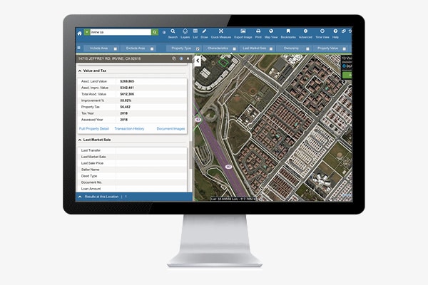
Determine accurate property values
Identify assessed value & transaction history
- Understand assessed land values, improvement values and percentages, and the property tax paid in a given year.
- Access a property’s complete transaction history dating back up to 15 years.
Connected Data
Property
Address Point
Address information for single family home, multi-unit dwellings or large office buildings with multiple secondary units and address information from multiple streets.
Boundaries
Building Footprints
Building footprints are geospatial boundaries that provide the outline of a building drawn along the exterior walls.
Have questions? Want a demo? Let’s chat.
Fill out the form below and a member of our Sales Team will contact you shortly.
Recommended Insights
Government

8 Steps to Creating a Successful Government Website
A successful government website effectively answers constituents questions and helps to get them engaged. Here are 8 essential steps to...
Energy

A Guide to the PHMSA Gas Mega Rule and How It Will Impact Oil & Gas and Engineering Firms
On July 1, 2020, after roughly 8 years of going through the proper procedures for recommendations and reviews, the Pipeline...
Broadband

As they seek to tap federal funds to close the digital divide, states risk coming up short by relying on faulty broadband maps
“With our deep technical knowledge and data driven approach, LightBox is committed to helping communities improve and better understand the...