
Subscribe to LightBox Insights
Gain market-moving insights from industry experts.
We will not share your data. View our Privacy Policy.
blog
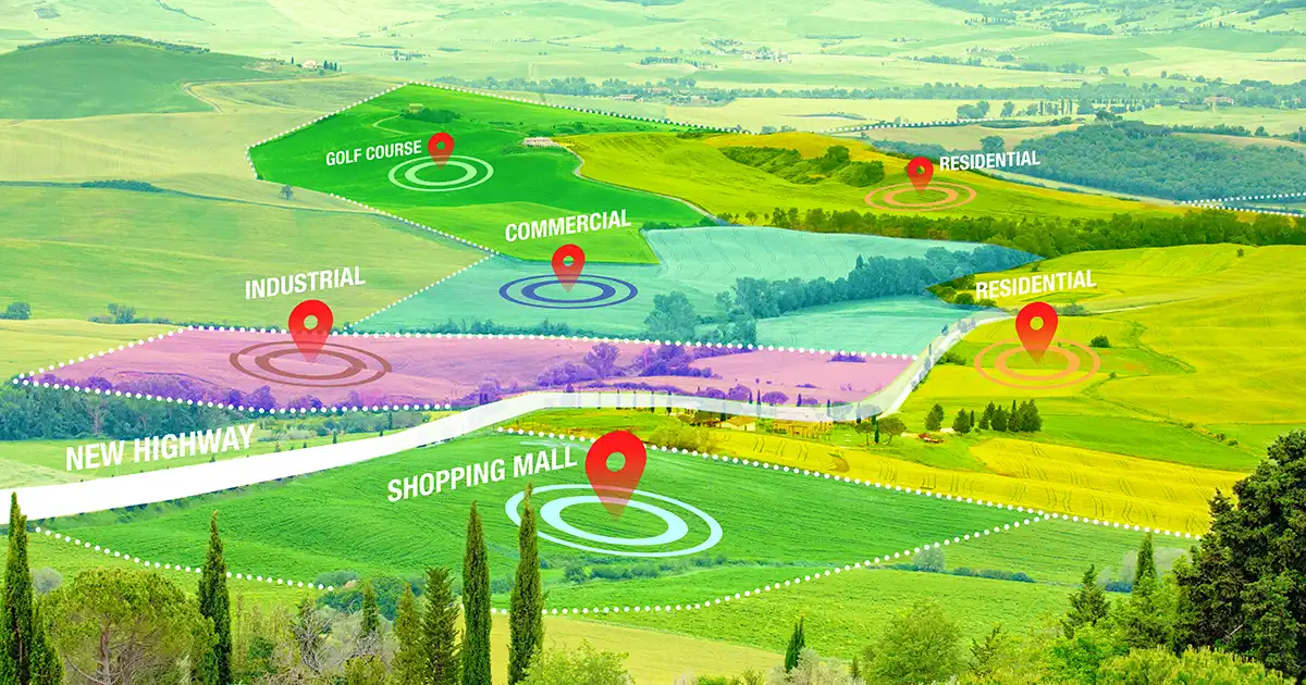
How CRE Brokers Leverage LandVision for Targeted Site Selection
April 25, 2024
< 1 min
Subscribe to LightBox Insights
Gain market-moving insights from industry experts.
We will not share your data. View our Privacy Policy.
View