
Subscribe to LightBox Insights
Gain market-moving insights from industry experts.
We will not share your data. View our Privacy Policy.
blog
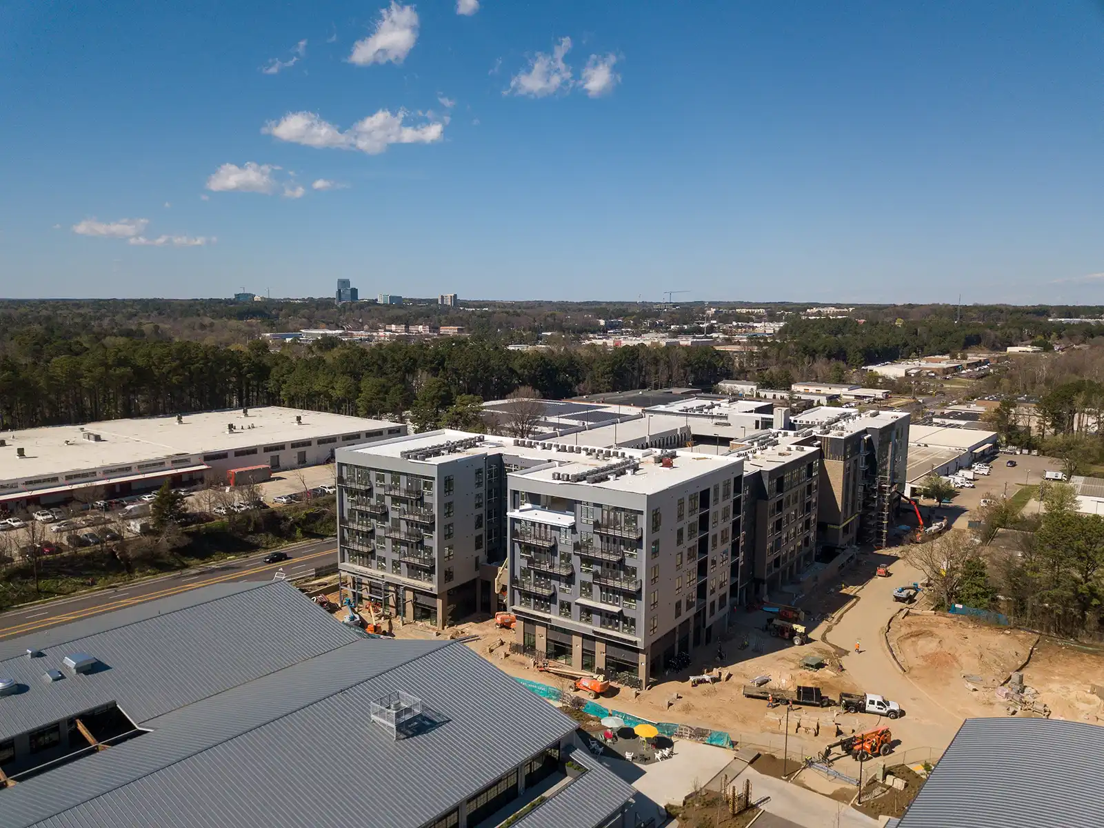
Reshaping Urban Landscapes Through Upzoning
April 26, 2024
< 1 min
Subscribe to LightBox Insights
Gain market-moving insights from industry experts.
We will not share your data. View our Privacy Policy.
View