
Subscribe to LightBox Insights
Gain market-moving insights from industry experts.
We will not share your data. View our Privacy Policy.
blog
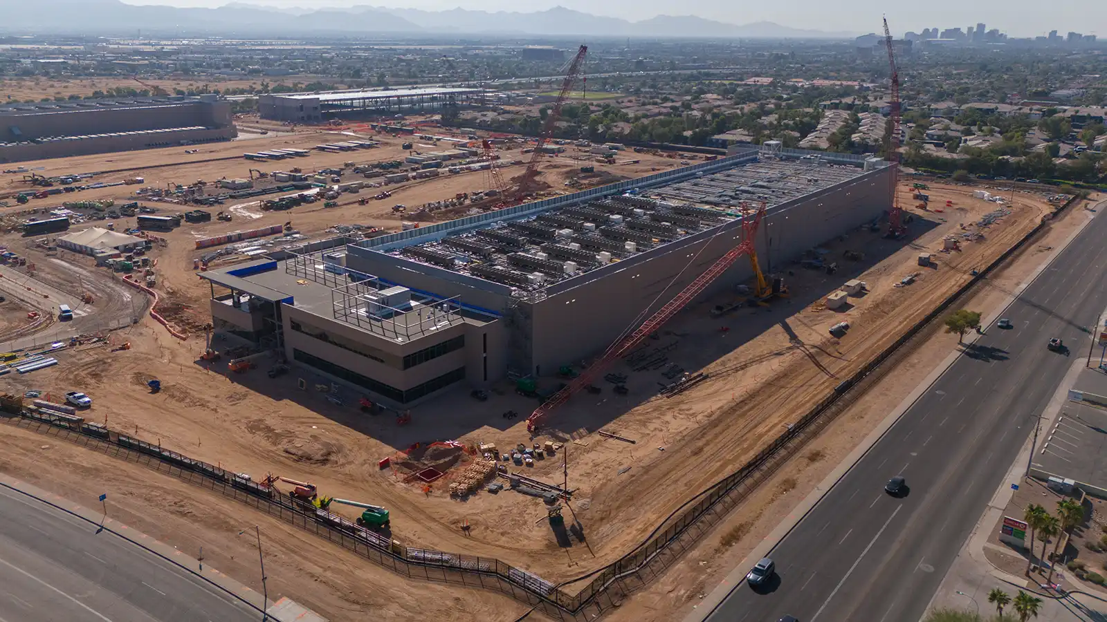
The Changing Landscape of Data Center Zoning
April 12, 2024
< 1 min
Subscribe to LightBox Insights
Gain market-moving insights from industry experts.
We will not share your data. View our Privacy Policy.
View