
Accurate location information is imperative for real estate analysis and location-based decision-making regarding property, land, and assets.
If you are looking to view property lines, it is vital to access current parcel data, the definitive detailed information about a property’s official geographic boundaries and other characteristics.
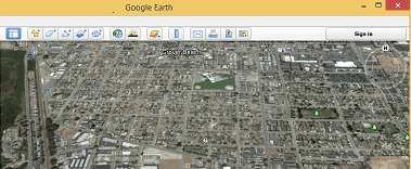
View Property Lines In Google Earth

You can view parcel boundaries, or view property lines in Google Earth™ and other GIS applications via a familiar map view format and quickly digest key location intelligence information.
LightBox Digital Map Products (DMP) is the premier provider of aggregated location data (including parcel and property data) as well as online mapping visual analysis technology applications. We handle the legwork of collecting and standardizing parcel and property data from County Assessors and other sources across the U.S. Data coverage is updated and expanded on an ongoing basis so the most accurate and relevant information is always available. Our clients benefit from receiving current, aggregated nationwide parcel line and property attribute data sets from one source.
Integrate Our Data Sets into Your GIS
By integrating LightBox DMP’s data sets into your GIS, land management or other location-based application, you are empowered with easy access to view parcels and property lines, and robust property information. Precise parcel data and property information, such as the viewable property lines in Google Earth™, as well as APN/Tax ID, address and other key attributes, provide invaluable information for making faster, smarter business decisions that involve a location factor. Combining LightBox DMP’s parcel boundary and property data with your existing proprietary location and project data, helps you achieve better accuracy in your analysis and decision-making.
Organizations across technology, energy, engineering, real estate, government, and other sectors can benefit through streamlining internal analytics, informing projects, and even powering real estate technology applications. LightBox DMP’s parcel line and property data sets are available via web service, FGDB or Shapefile, for easy integration into your internal systems and technology applications.